|
|
|
|
The highest peak east of the Mississippi River, Mt. Mitchell can offer beautiful views of the southern Appalachain mountains. Often though, (as with the day we were there) the view is obscured by fog as warmer air rushes up the mountain and condenses on everyone and everything in sight.
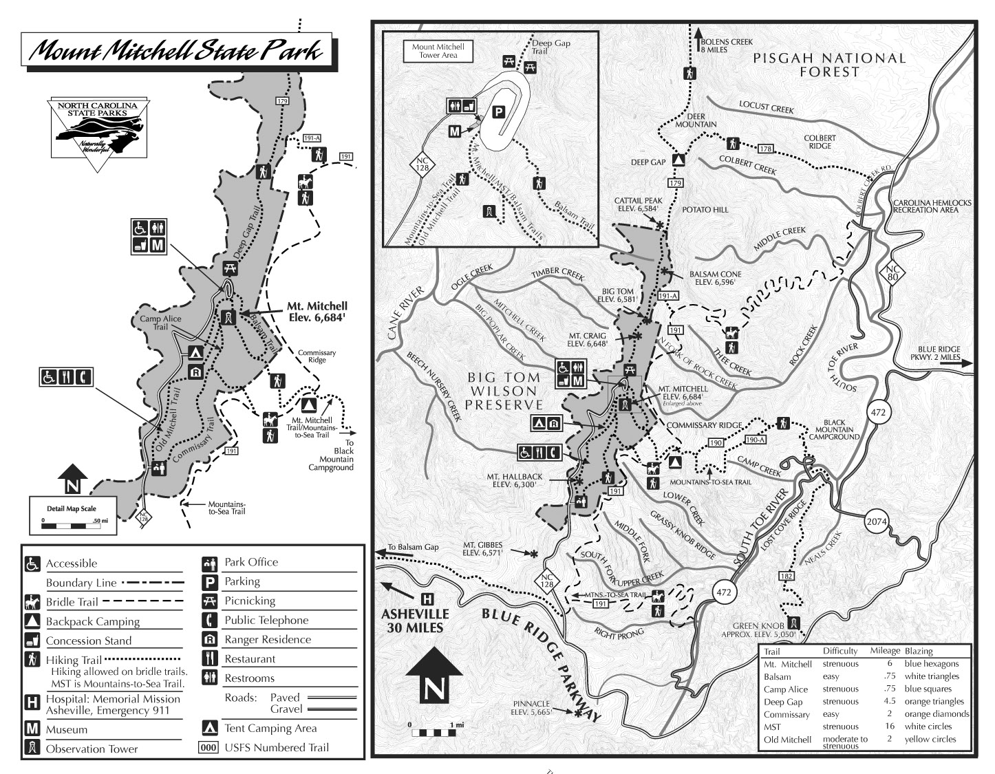
From the parking lot it's just a short hike to the summit up a well-maintained trail. A quick note on scheduling - the parking area and summit are in the gated portion of the park, so plan access for the hike accordingly (i.e. it did not open until 9am, so don't anticipate an early summit unless you want to add a few miles of walking.) There is a campground inside the park, so if you want some pictures of sunrise or sunset, that would probably be the best solution.
On our visit, we were greeted with 40+ mph winds and a fog that encompassed the summit. There were a few breaks, but for the most part visibility was limited to a few hundred feet. We noticed a huge difference in the wind speed between the natural summit and the top of the tower.
While we did not hike a lot getting up, this area offers a huge amount of hiking. For those who want to eschew making the trip by auto, there is a campground in neighboring Black Mountain with a 5.6 mile trail to the summit (http://www.northcarolinaoutdoors.com/places/mountains/blacks.html) There is also the "Mountains-to-the-Sea" trail which stretches over 1000 miles and winds through much of the history and cultural significance of the state. There are also a number of side trails that explore the park and the neigboring peaks.
|
|
|
|
|
|
|
|
|
|
|
|
|
|
UPDATE - We revisted and snapped a couple new pics. The weather was musch better, and this time the camera did not die on us. We did, however, get a flat tire in the summit parking lot and had to limp to Asheville on a space saver. Such is the life of a highpointer!!!
|
|
|
|
|
|
|
|
|
|
|
|

)
)
)
)
)
)
)
)
)
)
)
)
)
)
)
)
)
)
)