|
|
|
|
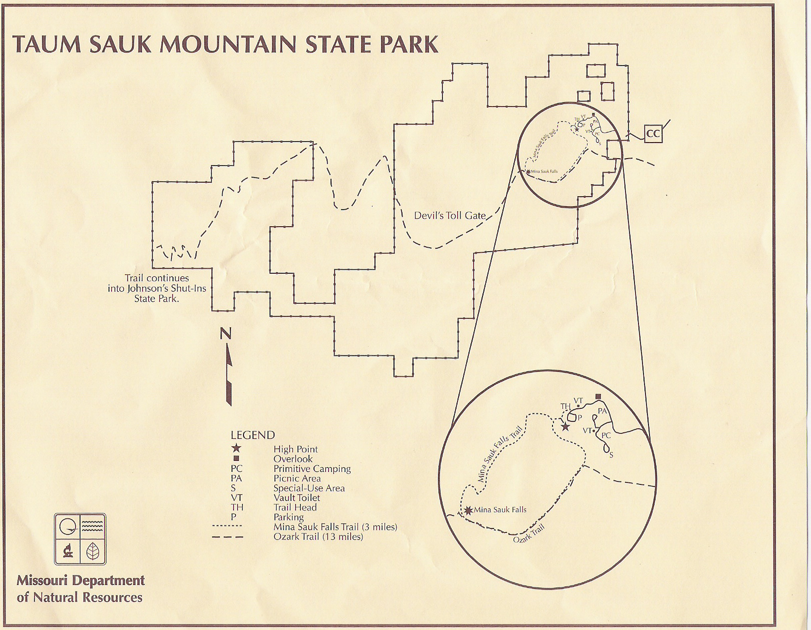
I have to comend the good folks of Missouri for making the most of a limited highpoint. It certianly does not rate with peaks like Rainier for beauty, but they have one of the niceset paths to the highpoint I have seen. The drive to the highpoint (from Columbia MO in this case) seemed long and tedious. This was certainly an easy one to bag, although we left about 3:30 in the afternoon and drove straight through to Virginia - ariving home at 4pm the next day!
Although it is a pleasant and easy highpoint to reach, I don't think it will be on our list of "do-agains".
|
|
|
|
|
|
|
|
|
|
|
|
|
|
|
|
|

)
)
)
)
)
)