|
|
|
|
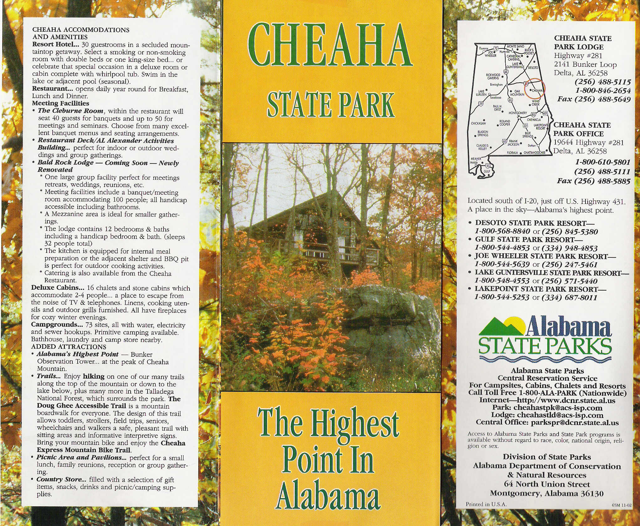
Cheaha is another "drive-up" summit that is so prevalent in the South. The park is clean and nice, and I was surprised it was open during our visit on a holiday. The facilities are good and if we had more time we would have camped there. The view from the summit is passable. This highpoint is very accessible from the north (Via I-20). We drove up from Britton Hill that morning and we spent the day on two-lane blacktop.
The summit is marked by a distinctive stone tower with a Geo in the front. We also found another Geo just to the left of the building. In looking for the "true" highpoint, we wandered around and found a rock in the back of the tower building. Our GPS readings were off by quite a bit. I noticed our car radio suddenly went static due to the large tower next to the highpoint. I wonder.....
|
|
|
|
|
|
|
|
|
|
|
|
|
|
|
|
|
|
|
|
|
|
|

)
)
)
)
)
)
)
)
)
)
)